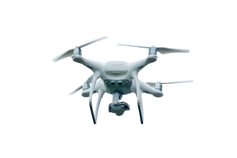
Aerial perspectives provide an unmatched view of your site and project. Our drone walkthrough service captures high-resolution aerial footage and images, allowing you to see your property, its surroundings, and the development progress from above. This is particularly valuable for large sites, complex layouts, or projects where context and topography play a critical role.
Drone walkthroughs give clients a real-time sense of scale, layout, and relationship to neighbouring properties and the wider landscape. They are an effective tool for visualising access points, landscaping, roof structures, and site features that can be difficult to fully appreciate from ground level. For planning applications in Ireland, drone footage can provide supplementary material that demonstrates the site context clearly to local authorities.
Our team produces smooth, professional aerial videos and annotated imagery that can be used for presentations, stakeholder engagement, marketing, or monitoring construction progress. For homeowners, drone walkthroughs offer a unique perspective on your project’s scale and design within its environment. For developers, commercial clients, and architects, they provide a practical and visually compelling way to communicate progress, context, and design intent.
By combining cutting-edge drone technology with careful planning and safety compliance, our drone walkthroughs deliver clarity, insight, and impact. They are a powerful way to showcase your project from a perspective that was once only possible with extensive aerial surveys.